 |
| Counter-clockwise loop. |
Depart 17:30 on Friday, 6/29
Arrive 09:16 on Sunday, 7/1
27.7 miles (plus 3.1 other miles)
7,200' elevation gain
12 hours, 40 minutes hiking
39 hours, 48 minutes total
2.43 hiking mph
1 owl, 3 salamanders, many bees, many birds (heard), 1 tick
Photos
Link to all photos and videos (many many)
Report
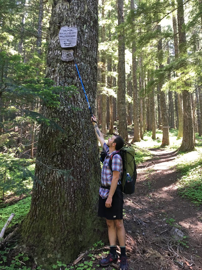
My BFF and I were looking at the Loowit Trail for last weekend, but we weren't sure about the snow conditions or weather. So we went with something much closer and very different: a loop through the Salmon-Huckleberry Wilderness along Eagle Creek and the ridges that connect Tumala Mtn, Sheepshead Rock, and Wildcat Mtn.
We drove out after work and got only slightly lost near The Douglas Trailhead (called Wildcat Mtn Trailhead in Google). The directions given in the Field Guide are correct, I just misinterpreted them. Roads are paved the whole way until the parking lot.
After our brief detour, we arrived at the TH around 17:20 and were pleased to see only 2 other cars.
 |
| The ultimate trailhead vehicle. |
With only 4 hours of daylight, it was convenient that day 1 was all downhill, losing over 2,000' on the way down to Eagle Creek. The trail was great except for when it was overgrown by salmon berries and thorny bushes.
 |
| BFF in the bush -- the thorny ones bite. |
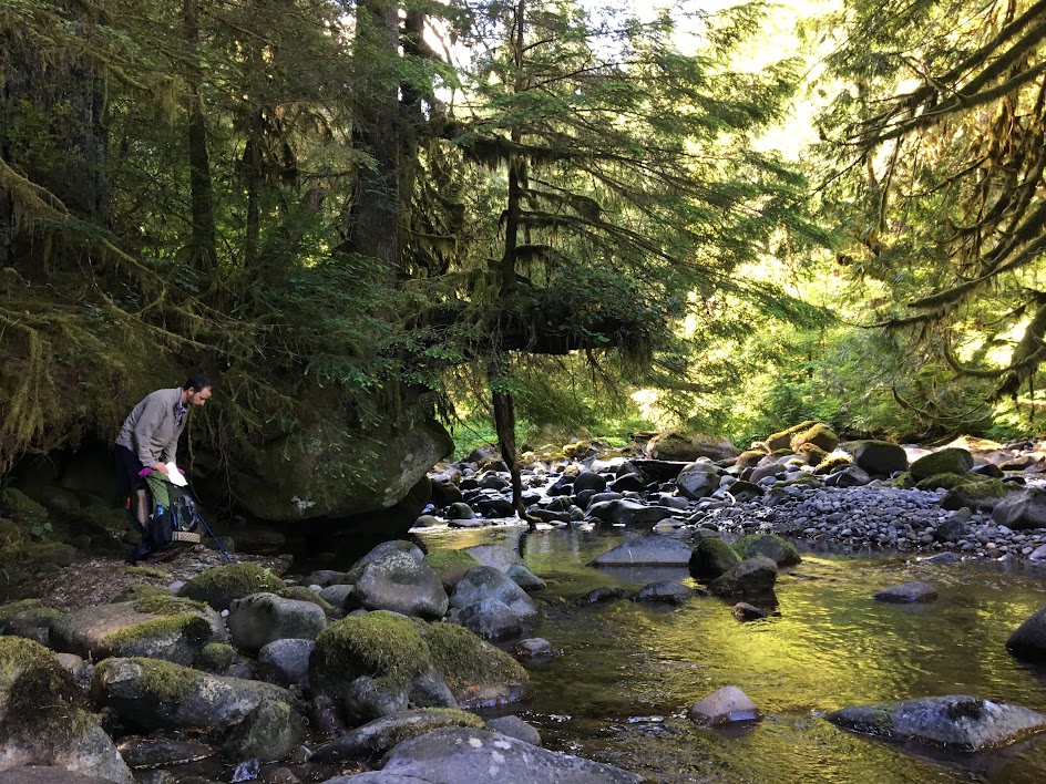
We had dinner at a small creek where it crossed the trail and then made camp a mile further down, well uphill and away from the creek. Bug pressure was minimal and the weather was clear and calm so we chose to forgo both our tarp and bug shelter. It was our first time "cowboy" camping and it was truly an amazing experience. As dusk faded, we were able to hear and then see an owl fly quite near us (video of hoots in album). 6.5 miles on the day.
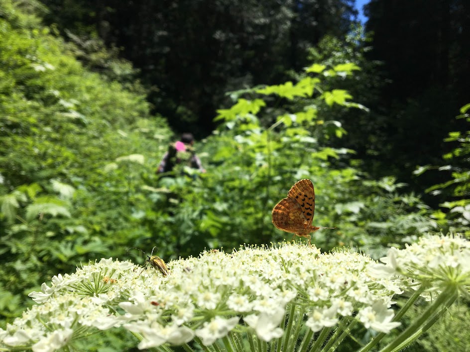
Day 2 required 16+ miles and 5,000' gain. We broke camp and were hiking by 9am, a little late for the long day ahead. The forest here along Eagle Creek holds a fantastic mix of old and new growth. Isolation from civilization was noticeable and the the occasional airplane served as the only reminder of our proximity.
We meandered along, stopping to scope out the established campsites (of which there were 3) and to take videos of each other.
 |
| Breakfast spot, day 2. |
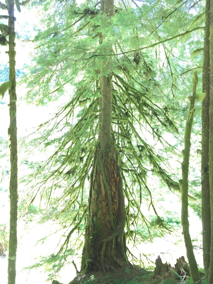 |
| Old life supports new. |
 |
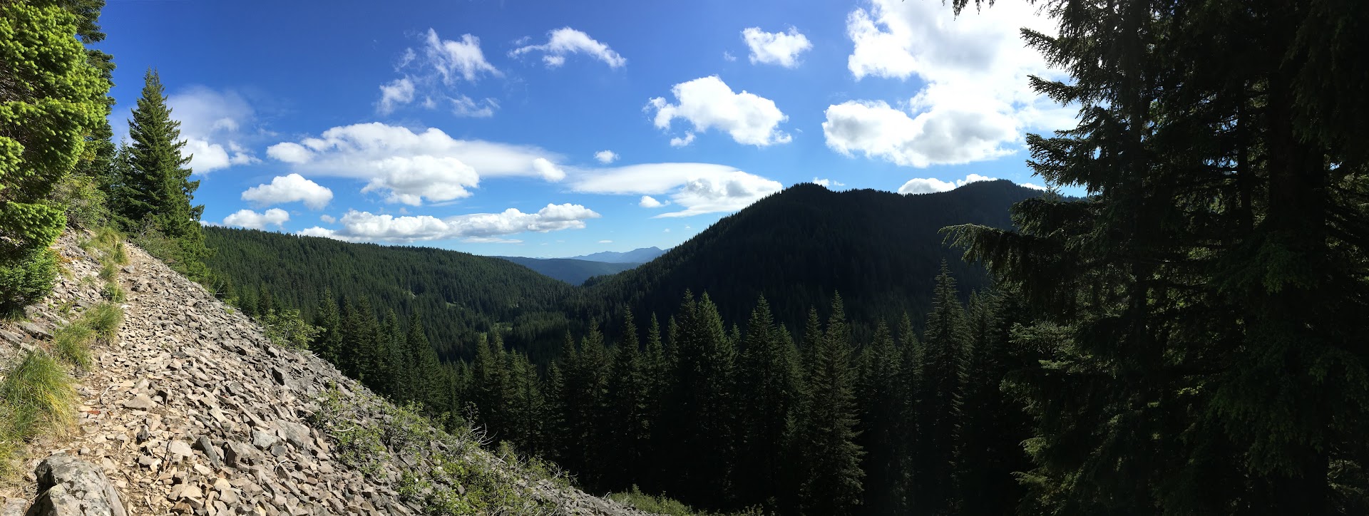
| Beautiful. |
 |
| Why so high? At least losers hadn't yet put bullet holes in them. |
At 16:30 and mile 11 for the day, we paused for dinner at a tremendous southerly vista -- Tumala meadow and lakes below -- created by an impressive rockfall. Confident of having a water source at camp that night, we consumed all of our water with our dinners.
 |
| Dinner with a view. |
Our relaxing 9am start and leisurely pace along Eagle Creek earlier in the day got us into camp just as the sun was setting, not affording us enough time to search for the proper Coffman Camp and associated spring. So again we turned off trail and found a stealthy flat spot free of bushes under and large tree and canopy. We went to bed thirsty and hungry, afraid to eat any of our candy bars lest it dry out our mouths further.
Having been treated so well by the weather the night before, we decided to only set up the bug shelter and again go tarp-less. We ignorantly dismissed the low, dense fog around us and laid down for the awful night ahead.
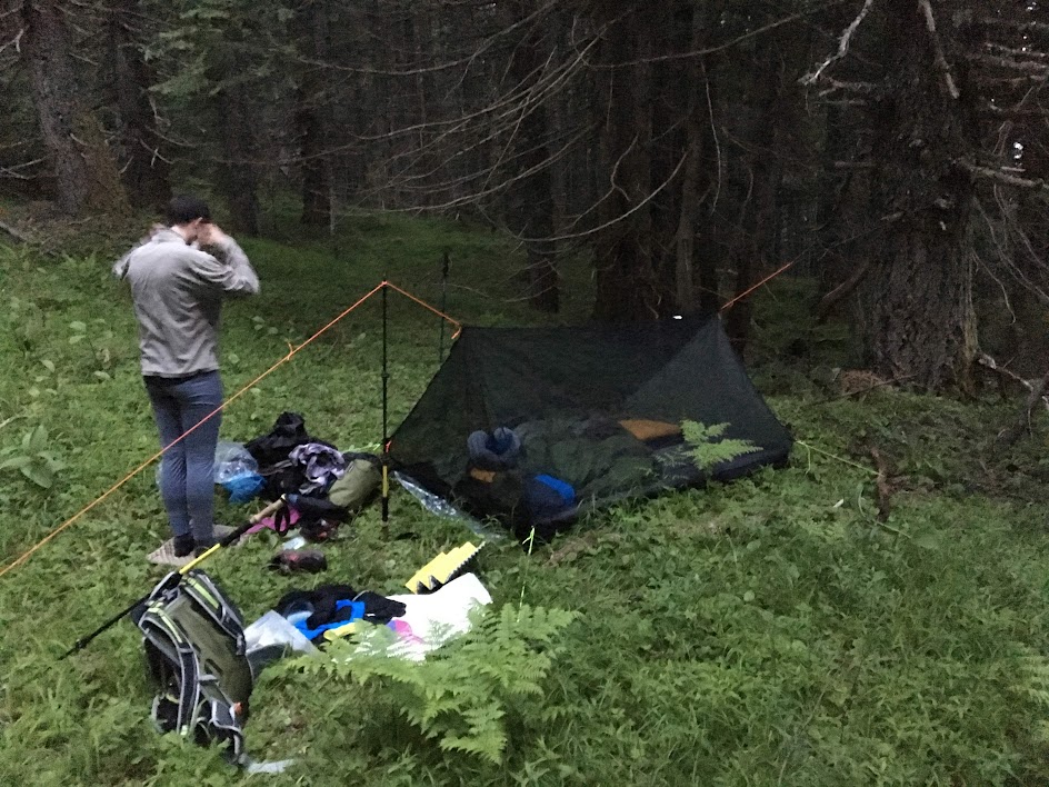 |
| Camp, night 2. |
Drops began falling on our faces around 22:00, so I suggested simply pulling the tarp inside our bugnet and laying it over the top of us; we figured the weather would be temporary and therefore lazily chose to forego getting out and properly setting up the shelter above us (we later posited that this "rain" was likely just water condensing out of the fog onto the tree leaves above us and then raining down onto us. i.e. if we would've camped in the open, we likely would've stayed dry[er]).
The clear drawback of this plan became evident as condensation began soaking us from the inside, under the tarp. In addition, puddles began forming around us inside the bug shelter soaking the feet and sides of our bags. Feeling defeated, we quietly settled in for a night of wet tossing and turning with little to no sleep. The lesson we learned was clear: bite the bullet and set up your shelter properly at the first hint of weather. 16.5 miles and a monkey butt load of climbing on the day.
We arose with the sun, thankful to be thru the night. Save for the long undies and fleece shirt I was wearing, everything else was wet: hiking clothes, shoes, backpack, beanie, etc... Packing up was a cold and somber affair.
Luckily, we had only 4.7 miles back to the car on this day, our third and final of what had been a generally enjoyable trip. Coffman Camp and its spring was just 1/2 mile down the trail from whence we camped and so we replenished our bottles and continued on. Our sorrows began melting away once we were covering ground; the weather was mild if not a bit wet and the trail was clear of overgrowth.
 |
| Happy hikers. |