Wednesday, August 10, 2016

Journal Entry: Monday, 7/25/2016

Day 9 of 15

Stats

17.2 miles (plus 0.8 other miles to/from water source)
2,013' elevation gain
7.5 hours hiking
2.40 hiking mph

Photos

Link to all photos from day 9.

Journal Entry

italics = original journal text
regular = added during transcription

I took pictures this day for a day-in-the-life post. They can be found in a separate post found here.

More bugs last night and this morning. Had to set up & break camp in rain gear.

17 miles (+0.8) went by pretty quick. I think I'm getting better at letting the time pass, as opposed to monitoring the clock.

Met 6 SoBos (southbounders) at Six Horse spring today. None did WA. The snow was still too bad in most of the state for their early July start.

I have 2 options for the next 2 days: 11 + 11 miles or 18 + 5 miles. The first option puts me at Crescent Lake tomorrow, which the SoBos said was a nice place to camp. 2nd option puts me at Diamond View Lake, which is less established but supposed to be pretty. Leaning towards Crescent Lk since there is a campground there. May be car camper willing to feed me :) I had this far fetched idea that every passerby would recognize as me a PCT hiker and excitedly take me in for hot dogs and s'mores. This never actually happened (to me). It also puts me at Shelter Cove later in the day Wed, which is nice since Ky won't be there til the evening. Heard from the SoBos that S. Cove only has hot dogs and frozen pizza. I'll still probably mash.

Took a nap today in an effort to slow the day down. It didn't help starting the day at 7:30am. I'm gonna try and sleep in tomorrow and not start hiking until at least 9.

I think today was the first day I actually ate all my calories. Only had ramen for dinner, but I snacked a lot and ate a lot of PB.


Awful blowdown.

 
Interesting section of trail.

High point on the official PCT in Oregon/Washington.


8/9/2016: Day in the Life

After seeing Joe Brewer do a day-in-the-life style video on his YouTube channel, I wanted to recreate my own (with pictures).

I tried to capture even the most mundane things. I felt it was helpful to give an accurate depiction of what my days were like.

The journal entry for this day can be found here.


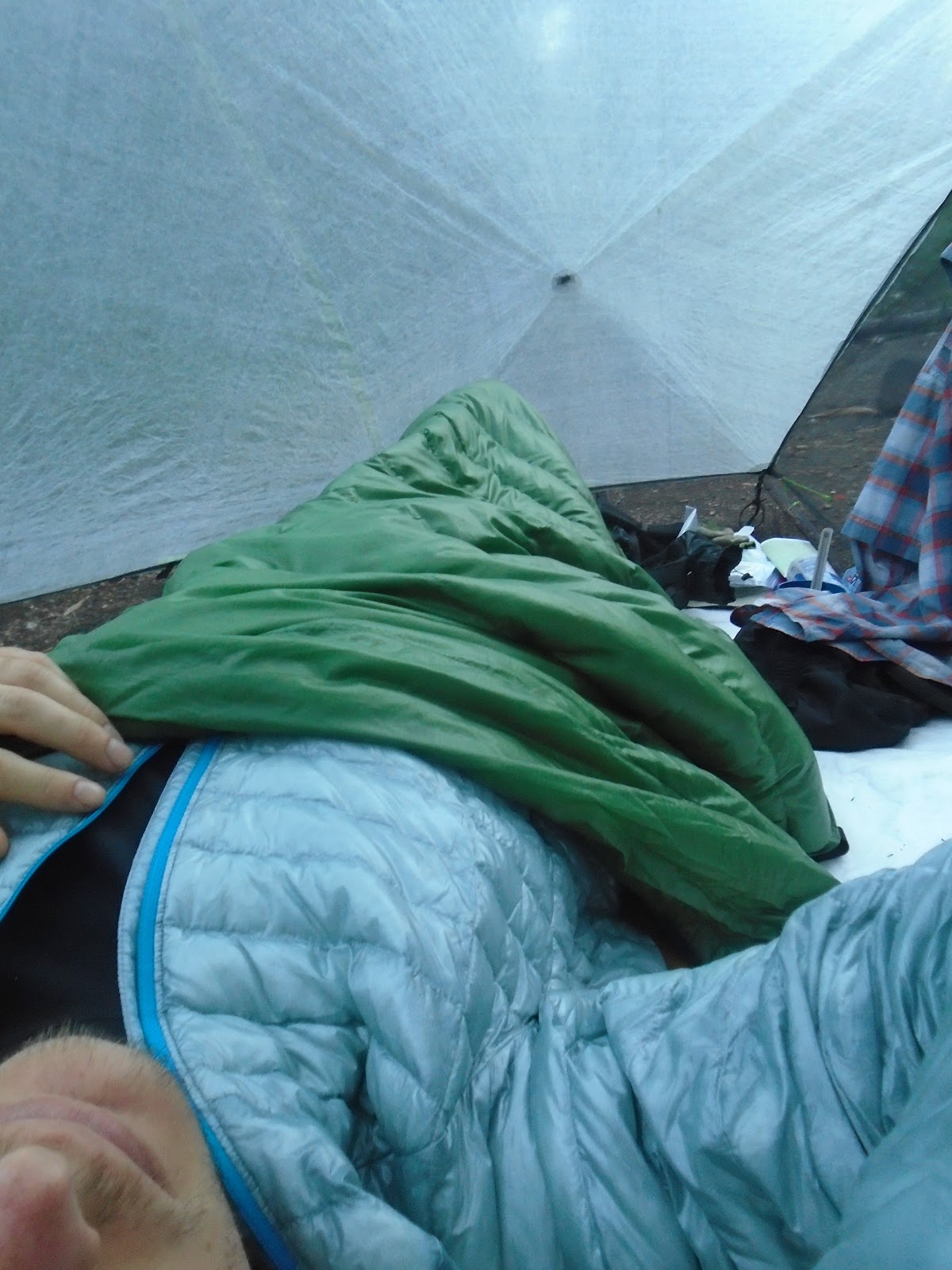
6:30am: Wake up, hopefully warm.

Warm up hiking clothes in bottom of quilt.

Get out of bed, pee, and get food bag.

Get back in bed. Heat water for hot chocolate right outside of tent.

Sort food for first part of day.

Yummo.

Make cereal while hot chocolate is cooling down. 5 scoops of powdered milk, 8 oz water.

Eat, Wheaties!

Tend to feet. Applying Body Glide here.

Put on rain gear to help with mosquitoes while breaking camp.

8am: Packing up.

Walk.

9am: Stop to poop.

9am: Eat, Gu packet.

Walk around blowdowns.

Walk. Take a picture of the different type of trail throughout the day.

Highest point on official PCT in Oregon/Washington.

10am: Eat and walk, cherry PopTarts.

11am: Eat and walk, Chips Ahoy.

12pm: Collect and filter water.

1pm: Take a nap.

2pm: Walk.

3pm: Eat and walk, granola bar.

4pm: Stop to collect water off trail. Eat dinner (ramen and a bunch of snacks). Super glue tent pole back together.

6pm: Set up camp.

Eat, snickers bar.

Eat, beef jerky.

Eat, extra crunchy peanut butter.

6:30pm: Hang food bag (contains food, stove, and trash).

Wash feet, legs, and forearms. Trying to get some of the dirt, sweat, and bug spray off before putting on my sleeping clothes.

Wash socks and towel, then hang to dry overnight.

Blow up sleeping pad.

Stuff rain gear and extra clothes into stuff sack for pillow.

Plug in MP3 player to charge for the night.

7pm: Review maps for the next day. Plan out water and camping options.

Stretch.

Journal.

Tend to feet. Applying moisturizing salve.

Floss.

Pee right before going to sleep, then brush teeth and change into sleeping clothes. Hang hiking clothes to air out overnight.

7:25pm: Almost hiker midnight, so time to sleep! It was normally still light out, as sunset wasn't typically until about 9pm.

Journal Entry: Sunday, 7/24/2016

Day 8 of 15

Stats

19.6 miles
2,129' elevation gain
8.0 hours hiking
2.45 hiking mph

Photos

Link to all photos from Day 8.

Journal Entry

italics = original journal text
regular = added during transcription

3rd bloody nose in 3 days. My nose had been dry since the first couple of days on trail. I ended up getting very brief nose bleeds in my left nostril each evening for 4 days.

Got a fairly late start this morning. Took my time packing up & getting ready inside my tent b/c the bugs were still bad outside.

Hiked out at 9:30. The day actually went by fairly quickly despite being a pretty bleak & boring landscape for the first 10 miles.

Once on the slopes of Thielsen, the views got better & the trail climbed back up above 7,000'. Got to the creek at about 5 and ate dinner. Saw Kibbles & Bits and Sprout at the creek (met both earlier today). The bugs were actually mellow there. This was an amazing setting. The combination of the scenery and cold creek water (first source for 26 miles) made for an idyllic moment. I wish I would've taken more pictures.

There was a water cache (strategically placed stashes of water, usually maintained by past hikers who know where water is needed most) @ mile 9 today (mile 18 of 26 dry) which was awesome. Got to chug some & even had some fruit loops.

About 1/2 mile before I got to the cache (before I knew it was there), I passed a woman hiking the opposite direction wearing only her hiking hiking underwear and sports bra, carrying only a full water bladder. This confused me, but made sense after I got to the cache.

Another dry stretch after the creek today. This only 16 miles. After that, water is plentiful until Shelter Cove.

I cannot wait to see Kylie (Sheriff too). It'll be nice having an extra day to make 3 full days with them. It's going to be hard to get back on trail.

My right heel started to get a little sensitive and rough. Once I was in my tent for the night, I inspected closer and noticed a small crease on the back edge of my insole. I simply cut out the small section with my Swiss knife.


Surprise water cache.

Such relief!

Up close views of Mt. Thielsen (9,184') from its west ridge.

Northwest ridge.

Looking up from the bottom of steep rockfall slopes.

 Thielsen Creek, looking up towards the summit.

Gear modification.